Mapping Racist Covenants
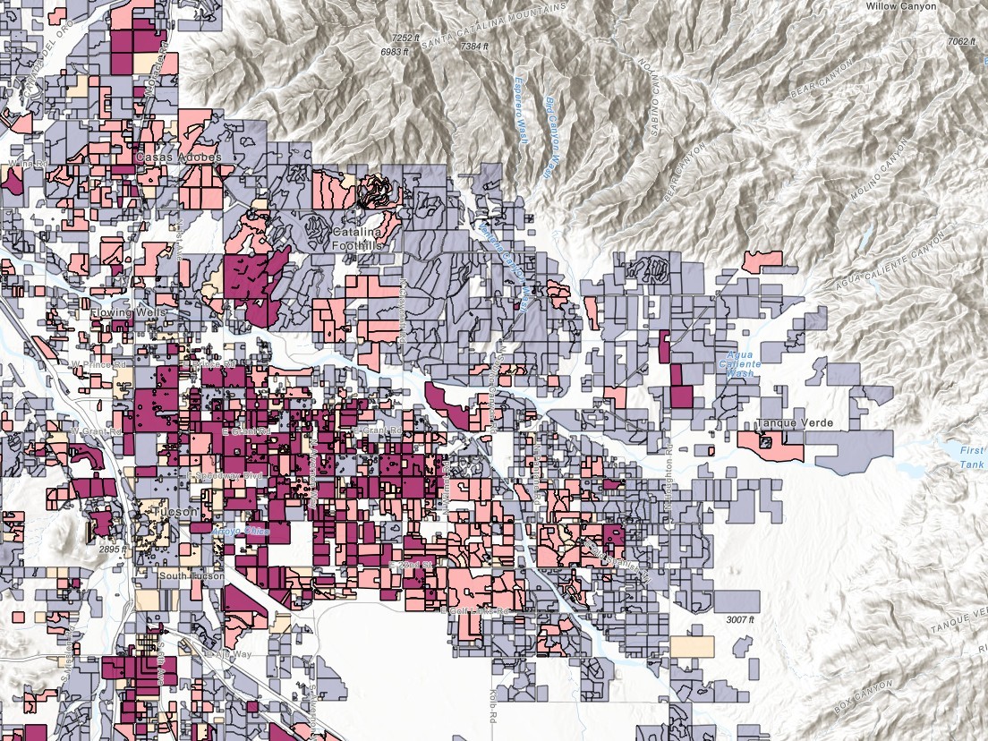
A public GIS project documenting racially restrictive housing covenants in Tucson, AZ. Built with J. Jurjevich, C. Kollen, and student collaborators. Funded by a $60,000 grant.
I bridge spatial science, open source technology, and education —
from hydrological modeling to web mapping to classroom instruction.
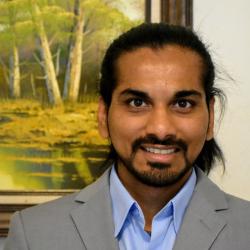
I am a spatial thinker, educator, and builder who moves comfortably between research, code, and the classroom. My path has been anything but linear — I began as a software engineer in Mumbai, found my way to the desert Southwest for graduate school, fell in love with watersheds and maps, and never really left.
I hold a Ph.D. and M.S. in Natural Resources (Watershed Management & Ecohydrology) from the University of Arizona, and a B.Tech in Information Technology from Veermata Jijabai Technological Institute in Mumbai, India. That combination of computer science roots and environmental science training shapes everything I do — whether I'm writing Python to analyze spatial data, modeling how green infrastructure affects urban flooding, or helping students publish their first web map.
I primarily teach courses in the MS-GIST and BS-GIST programs at the University of Arizona that focus on Python programming, spatial analysis, and web-based GIS. I emphasize hands-on, applied learning through clear objectives, structured modules, and practical exercises that strengthen both technical abilities and analytical thinking and help students develop confidence in applying geospatial tools to real-world challenges.
My research leverages GIS and geospatial modeling in interdisciplinary projects that examine environmental processes, urban systems, and social equity. I collaborate broadly across institutions, contributing spatial analysis and visualization expertise to address environmental, historical, and community-centered questions.
I am currently serving as the lead of the Urban sub-team focusing on the impacts of urbanization on water availability in Arizona as part of the Arizona Tri-University Recharge & Water Reliability project. My graduate research focused on urban hydrology and the role of green infrastructure for flood mitigation, water augmentation and providing ecosystem services. I also developed the AGWA Urban tool that can be used to model urban hydrology and green infrastructure.
I was also the Assistant Director of the Mapping Racist Covenants project, where our team created an interactive ArcGIS Experience to map Tucson subdivisions that still contain racially restrictive covenants. This work has helped reveal how discriminatory housing policies shaped neighborhood development and access to opportunity, and the project’s findings contributed to the passage of Arizona Senate Bill 1432, which now allows homeowners and HOAs to remove unlawful language from property covenants.
I also serve on graduate committees across multiple departments, providing guidance on spatial analysis, hydrology and hydrologic modeling, and geospatial methodologies for interdisciplinary research.
A broad toolkit spanning open source GIS, spatial analysis, Python programming, web development, hydrological modeling, and curriculum design.
Since joining the University of Arizona GIST Program in 2020, I have taught a wide range of courses spanning GIS fundamentals, programming, web mapping, and spatial analysis — primarily online. I have also advised over 100 students in MA projects, capstone courses, and honors theses, and serve on multiple PhD committees.
A selection of research, GIS, and web projects spanning hydrological modeling, spatial analysis, community mapping, and web development.
A public GIS project documenting racially restrictive housing covenants in Tucson, AZ. Built with J. Jurjevich, C. Kollen, and student collaborators. Funded by a $60,000 grant.
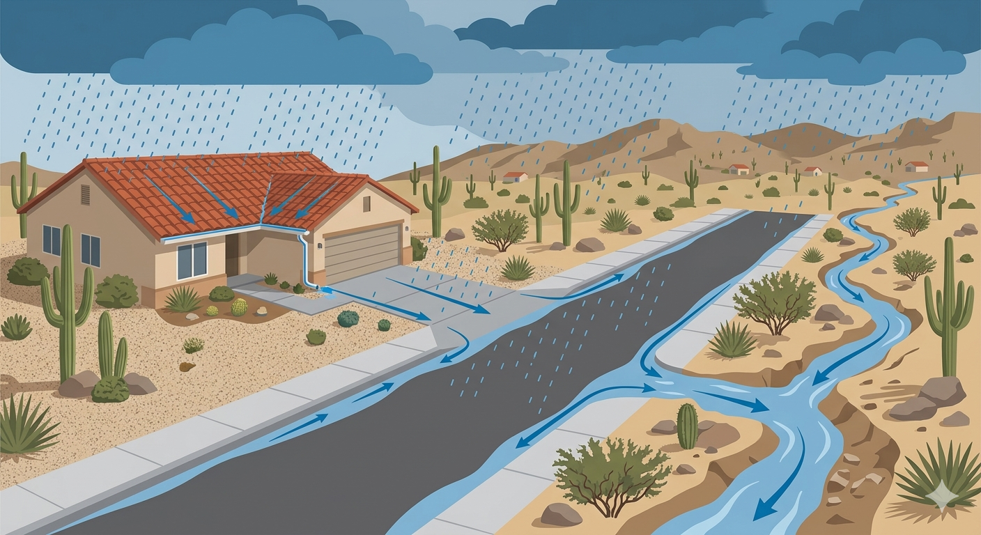
Funded research comparing AGWA Urban Tool, EPA SWMM, and HEC-HMS for drainage design in Arizona. Case study at La Terraza with The Nature Conservancy. Deployed via GitHub Pages.

Ongoing Squarespace website maintenance for this nonprofit organization, managing content updates, donation systems, adoption listings, and event information.
Wix website designed and built from scratch for the Desert Aquarist Society (est. 1974), a Tucson-based aquarium hobbyist club. Ongoing maintenance and content updates as President Emeritus.
Community involvement has shaped who I am as much as my academic and professional work. From aquarium hobbyists to salsa dancers to children's centers, these connections remind me why the work matters.
I welcome inquiries about GIS education, research collaborations, open source geospatial tools, or web projects.
Email: yoganandk@arizona.edu